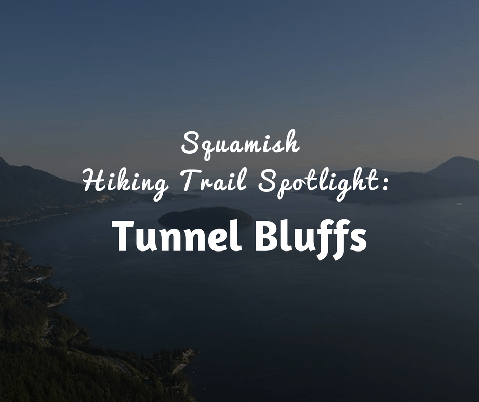
If you are seeking a hike to challenge and afford breathtaking views then look no further than the hiking trail at Tunnel Bluffs. This is a trail that you are going to want to undertake on a sunny day so you can really soak up the unparalleled views that sweep from Bowen Island to the Sunshine Coast down to the Horseshoe Bay and all along the Sea to Sky Highway.
How to Reach the Trailhead
The trail sits about 40 minutes from Vancouver, just north of Lions Bay. The Tunnel Bluffs trailhead is located across from the north end of the parking lot that sits off the Sea to Sky Highway. You will have to cross the highway on foot once you have parked , so please take extreme caution when doing so. Once there, you will see a map encased in plastic and affixed to a large rock. The train runs to the left. You will climb onto the large rock and then head up the trail. Rest assured that the trail is very well marked. You will see visible yellow markers that guide you down the trail. Be sure to know before you go and take efforts to stay on the trail.
First viewpoint
Only five minutes into the trail you will be able to enjoy your first viewpoint. There is a rocky bluff that you can walk out onto to see Howe Sound. Once you have soaked up the scenery then it’s time to head back onto the trail. You will have to step over a log and then the steep descent of the trail truly starts. You will find yourself climbing 500 meters in less than 2 kilometers. There is a bright yellow rope affixed to the side of the trail that you can use to pull yourself up at the steepest section.
Second Viewpoint
The second viewpoint is marked by a green arrow that can be hard to locate because of the abundant vegetation. When you reach a clearing, you will see a yellow trailer marker. Go the left of the yellow arrow and head You will be walking up the rock and through forestland as you push to the top. There is a rope to use that you can rely on for stability and to pull yourself upward.
The Trail Levels Out
Once you make your way past the second rope you can start to breathe easier because the hardest part of the trail is over. It is going to start to level out and you can make some good time. The trail will join up with an old logging road and have a relatively gentle upward climb. This portion of the trail can be muddy, especially during the springtime after the heavy snowmelt.
Junctions Ahead
You will arrive at a junction where you will see a small map of the entire area. At the junction, you need to go left towards Tunnel Bluffs. At this point, you will embark on another logging road but this one is completely flat for easy walking. There will be a second junction. Stay to your left. The entire route remains well marked.
Mount Brunswick and Mount Hat to the Trail’s End
As you climb up a rocky bluff you will catch a breathtaking glimpse of Mount Brunswick and Mount Hat. The trial will round a corner and drop down. You will then arrive at Tunnel Bluffs.
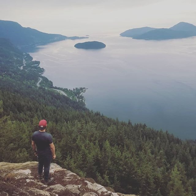
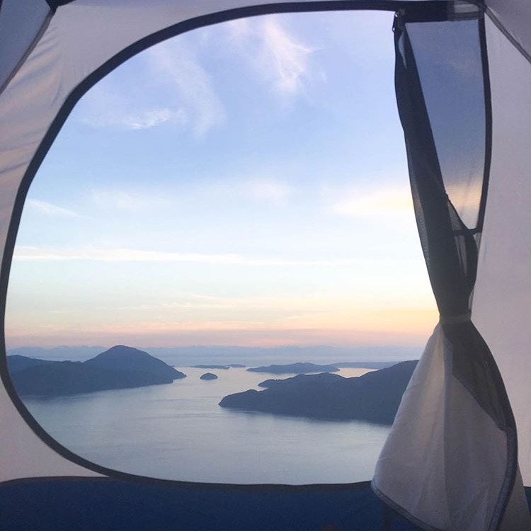
Views at the End of the Trail
From the trail’s vantage point you will be able to see Keats Island, Bowen Island, and the Sunshine Coast. You can even watch the ferries as they arrive and leave Horseshoe Bay. The spot is ideal to rest and grab a bite to eat before you head back down the trail.
The entire trail, round trip, is 8 kilometers. You should give yourself about four and a half hours to complete its expanse. Unlike many trails, this one is dog-friendly so feel free to bring your pooch, if he is in shape, to tag along
For map details and more information check out Vancouver Trails


Leave a Reply
Want to join the discussion?Feel free to contribute!