
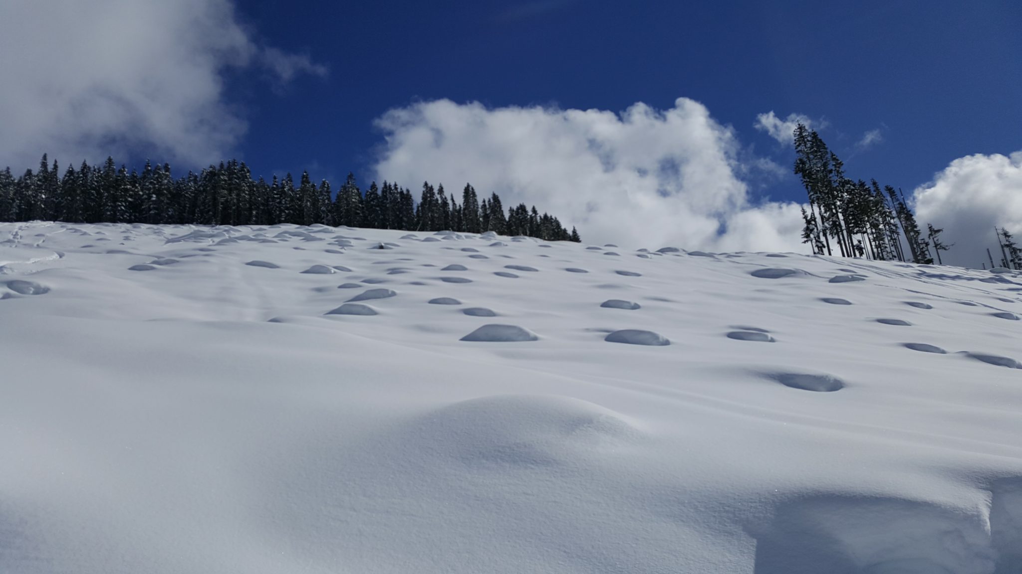
When its pouring in Squamish in November, its usually dumping powder in the alpine. Winter in Squamish is magical and if you are an outdoor enthusiast then there is no shortage of snow-related adventure sports in the region. The biggest question weighing on everyone’s minds is will winter 2018 set snow records?
Weather predictions are never easy. Some people follow the age-old Farmer’s Almanac and others opt to take a more scientific approach by listening to the National Oceanic and Atmospheric Administration (NOAA). No matter which source you follow, many times they agree on key points.
The Farmer’s Almanac Predictions
In the Squamish area, wintertime temperatures in November are expected to be a little below average with rain throughout most of the month, according to the Farmer’s Almanac. However, during the latter part of the month snow lovers can start to rejoice because snow flurries are expected.
As December arrives, the temperature is expected to remain only a slight bit below average with intermittent rain and snow showers persisting for much of the month. By Christmas time, rain showers will increase in the coastal regions with snow falling inland. The temperature is also supposed to plummet.
British Columbia should experience the greatest snowfall in late December, early and late January and into mid-February. When April and May arrive the precipitation levels will drop and the temperatures are forecast to be above average.
NOAA’s Warnings About an Early La Nina
NOAA’s official maps show that La Nina might occur a little early this year which could cause higher than normal wintertime temperatures in the Pacific Northwest. If this happens there will be increased precipitation in the region. Does this mean more snowfall? Well, not necessarily because the warmer temperatures could cause increased rain versus snow.
Understanding La Nina
A La Nina winter means that the Northwest will experience a colder and wetter season.The Pacific jet stream pushes higher into Alaska and Canada if La Nina forms early. Coastal areas would see increased rainfall but inland regions and ski resorts will enjoy the snow. Will there be record-breaking snow? That is still too early to predict. The fact that the La Nina phenomena will be short-lived if it does occur will probably prevent record snowfall at resorts but at least there will be average or maybe even above average snow to enjoy.
With La Nina expected early this year, some forecasters are saying that coastal areas will experience higher precipitation and inland areas more snowfall. About mid-December temperatures are expected to turn colder than usual, according to NOAA. If you are wondering how likely the La Nina scenario is, well forecasters are predicting a 55 to 65 percent chance of La Nina fully forming, according to CNN.
Record Snowfall Year in Squamish?
So far both the Farmer’s Almanac and NOAA agree that 2018 is not predicted to be a record year when it comes to snowfall. However, don’t be too downhearted yet because at least there is going to be average snowfall so you can still enjoy your wintertime recreational sports. It should be safe to book your Christmas ski holiday.
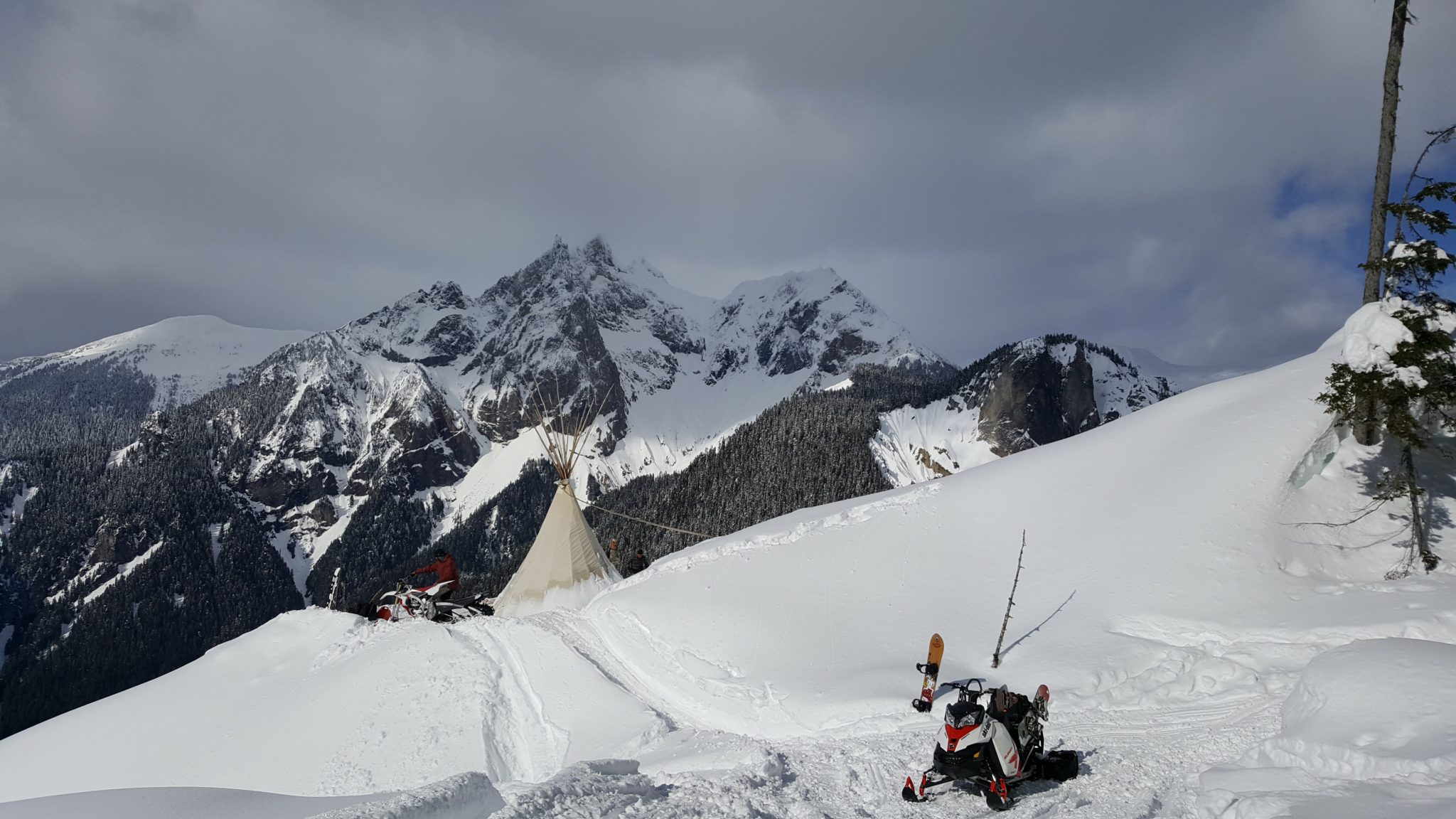
Squamish, Whistler, and Blackcomb Weather Forecast
As it stands right now, weather forecasters are predicting overall a normal snowfall amount for ski areas around the Squamish area. Whistler and Blackcomb should experience a 100 percent normal snowpack this winter so there are no big surprises. You should be able to plan your ski, snowboarding, and snowmobiling vacations with relative certainty that there will be ample white stuff to enjoy.


Leave a Reply
Want to join the discussion?Feel free to contribute!